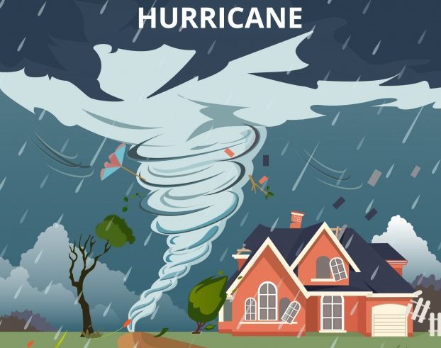
The official Atlantic Hurricane Season ended on Friday, November 30. An average six-month hurricane season which starts on the 1st of June, produces 12 named storms, of which six become hurricanes, including three major hurricanes. In May, the initial predictions issued for the season by Forecasters at the US National Oceanic and Atmospheric Administration (NOAA) was for a 35 percent chance of an above normal season, 40 percent near normal and 25 percent below normal. The forecast then was for the formation of 10 to 16 named storms, of which 5 to 9 were predicted to intensify to a hurricane and 1 to 4 major hurricanes (category 3 or higher). By August, analyses indicated changes in the condition of the ocean and the atmosphere that supported a likely reduction in the level of tropical cyclone activity. Hence, the chance for a below normal season was increased to 60 percent, while chances for a near normal season decreased to 30 percent and an above normal season down to 10 percent. The August predictions was for the formation of 9 to 13 named storms, with 4 to 7 intensifying to hurricanes and 0 to 2 major hurricanes. By the end of November, activity for the season saw the formation of 15 named storms and one tropical depression. Eight storms intensified to a hurricane and two attained the category of a major hurricane. This means that the actual activity was closer to the initial predictions in May, highlighting the issue of uncertainties in predictions.
The 2018 hurricane season was thankfully less eventful for Dominica when compared to 2017’s devastation by Hurricane Maria. The island was placed under tropical cyclone watches and warnings during the passage of Tropical Storms Beryl, Isaac and Kirk. Very early in the season, on July 6, Dominica was placed under a Hurricane Watch due to the approach of Beryl. At that time, Beryl was projected to move across the Lesser Antilles as a hurricane. However, the hurricane watch was downgraded to a tropical storm warning and later a tropical storm watch as the system began to weaken. Beryl moved directly across the island as a remnant low but did not produce any significant impact on Dominica. The second system that resulted in the exercising of the early warning and emergency preparedness mechanism of the country was Tropical Storm Isaac. A hurricane watch was issued for Dominica on September 11 at 11am. Similar to Beryl, Isaac showed signs of weakening and the hurricane watch was downgraded to a tropical storm warning at 11pm that evening. On the morning of September 13, Isaac was near east of Dominica approaching the island chain. The system however took on a southward drift as the day progressed and later moved south of Dominica without any major impact. Tropical Storm Kirk was the final system that showed possibility of affecting Dominica for the season. A tropical storm warning was issued for Dominica on the 26th of September and discontinued on the 28th as Kirk kept well south of the island.
Other weather systems that produced significant rainfall across Dominica during the hurricane season were tropical waves and trough systems. In fact, the public should note that even though the island was threatened by three tropical cyclones, it was a surface to low level trough enhanced by favourable upper level support that produced the most significant rainfall across Dominica during the period from November 4th to 11th and subsequent damages due to flooding, landslides and rock falls mainly across the northern half of Dominica on November 10th. This highlights the need for the public to keep in mind that the focus should always be on being prepared for the local hazards to which their community is susceptible such as floods, landslides, rock falls and even more critical a combination of all these hazards.
The Meteorological Service therefore continues to advise the public to always be prepared and take the time to be informed about these hazards. Visit the website at http://weather.gov.dm/resources where information is available on weather systems and common forecast terms used in the daily and severe weather forecast. Additionally, persons can also get acquainted with the vigilance level or colour coding system (http://weather.gov.dm/resources/weather-warning-vigilance-level-guide) issued on the extended forecast. The vigilance is composed of four colours with GREEN representing days with no threat of severe weather. The next three colours indicate a higher likelihood of the weather event occurring and the level of impact. YELLOW represents a low chance of significant weather activity and the public should be aware of the weather situation. AMBER is a medium threat level and requires the public to be prepared as there is likely to be severe weather and RED which is the highest level of warning represents a greater degree of certainty of severe weather impact and immediate protective action is necessary. The general public is being reminded to make every effort to access information from trusted sources and the responsible authorities.


