A FLOOD WATCH IS MEANS THAT FLOODING IS POSSIBLE.
Issued at 8: 00 a.m. Sunday, August 30th, 2020.
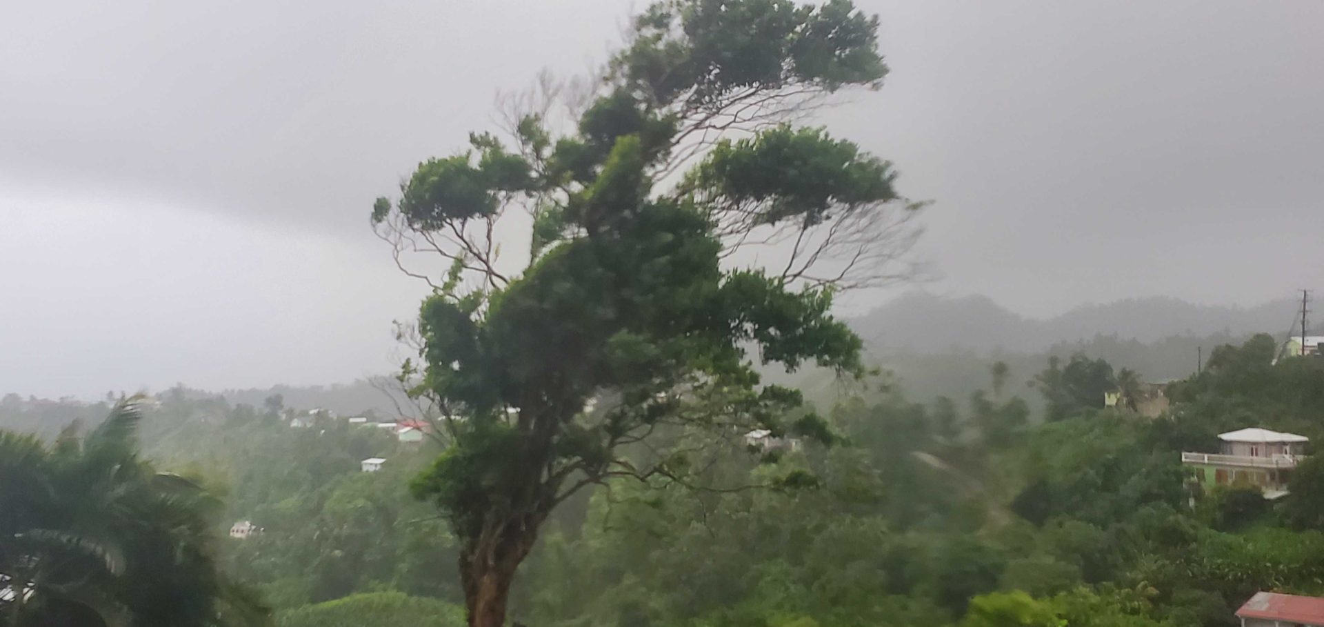
The Meteorological Service has issued a Flash Flood Watch for Dominica* From 8am to 2pm. Sunday August 30th, 2020* A tropical wave is currently generating unstable conditions across the island chain including Dominica.
Satellite and Radar imagery indicated that light to moderate showers and isolated areas of heavy showers and thunderstorm are expected to affect Dominica during today.
The forecast is for shower and thunderstorm activity to continue to affect the island with expected rainfall accumulations up to 3 inches and higher amounts in elevated areas. Flash flooding is therefore possible.
A FLASH FLOOD WATCH MEANS FLASH FLOODING IS POSSIBLE.
Persons in areas or communities that are prone to flooding, landslide and falling rocks should be vigilant and should take all precautionary measures to protect life and property.
This watch may be upgraded should conditions become necessary.
POSSIBLE IMPACTS FOR DOMINICA
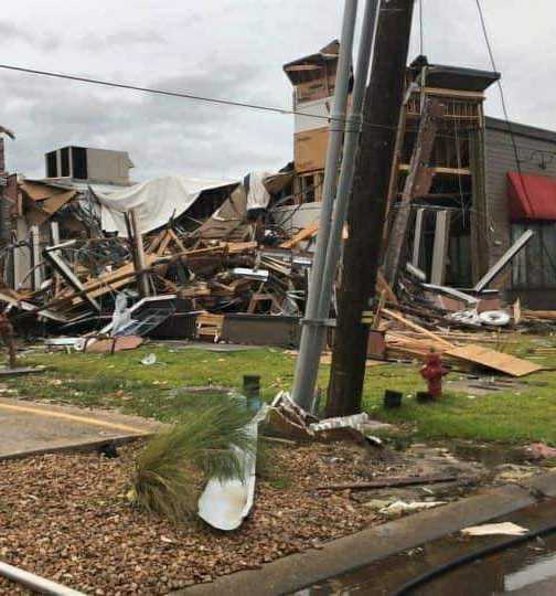
· Shallow rivers, streams, gutters and ravines may overflow their banks and flood surrounding areas. Roadways may be flooded.
· Landslides due to intense rainfall as well as rock falls from overhanging cliffs
Residents should continue to monitor for updated information from The Dominica Meteorological Service as it becomes available.


